
Saratoga Springs Block Sources
A block-level lookup needs more than one layer. GIS supplies adjacent parcel geometry. The Assessor can supply owner and property context for each serial. The Recorder can reveal deeds, plats, easements, covenants, and shared development documents. Voter products can contain a limited released address category. City plans and notices show development geography. Newspapers and the library add historical community clues. The table describes what each source can show about a block.
| Source | What it shows about a block | Access |
|---|---|---|
| Utah County GIS | Adjacent parcel shape, streets, city, layers, serial, owner popup | Public map, click, zoom, measure, export |
| Utah County Assessor | Owner, mailing and situs address, value, exemption context | Public address, name, and serial search |
| Utah County Recorder | Shared deeds, plats, covenants, easements, HOA names, dates | Party, KOI, recording, abstract, image forms |
| Utah voter products | Released name, address, ZIP, precinct, district, participation fields | State or county request; protected fields omitted |
| City plans and notices | Development names, lots, phases, hearings, applicants | Official pages and PDFs |
| Library and newspapers | Historical events, obituaries, civic and neighborhood notices | Catalog and Utah Digital Newspapers |
A parcel map is not a public household map. Every conclusion about a neighbor must be tied to a separate record and date.
Map Saratoga Springs Neighbors by Parcel
Open the Utah County Parcel Map. Search by street address or common place name, property serial, owner name, PLSS section, or city. Choose Saratoga Springs in the city control, select an autocomplete result, and zoom to the parcel. The owner search can be slow and returns a popup with a name-selection step. Serial searches accept several punctuation formats, and multiple serials can be comma-separated.
Turn on parcel boundaries and a useful aerial or base layer. The viewer offers county, USGS, OSM, and ESRI choices, plus coordinate, measurement, deed-point, and export tools. The historic parcel control lets a user enter a date and choose View Historic Date or Reset Historic Parcels. The county warns that the entered date is an online historic view date, not necessarily the date a deed was recorded. The map is reference-only and not a survey.
- Search and select the target address or serial.
- Click parcels immediately beside, behind, or across the street.
- Write down each serial, situs address, city, and legal description.
- Open each serial in the Assessor and Recorder systems.
- Keep a dated map export with the source notes.
Verify Saratoga Springs Neighbors by Owner
The Utah County Assessor is the next stop after GIS. A property result can show the owner, parcel, situs address, mailing address, value, exemptions, and property details, although exact live-card fields vary. The situs address is the location on the map. The mailing address is where tax correspondence goes. A mailing address may be in another city or state.
Use the serial as the stable bridge into the Recorder. Search the abstract or recording list, then inspect a document’s party names, KOI, entry and year, document date, recording date and time, consideration, cross-references, and legal description. A homestead or primary-residence exemption may suggest an owner’s declaration but does not prove everyone at the parcel is related to the owner or lives there.
The Utah County Property Watch service can alert a subscriber when a document is recorded against a serial or name.
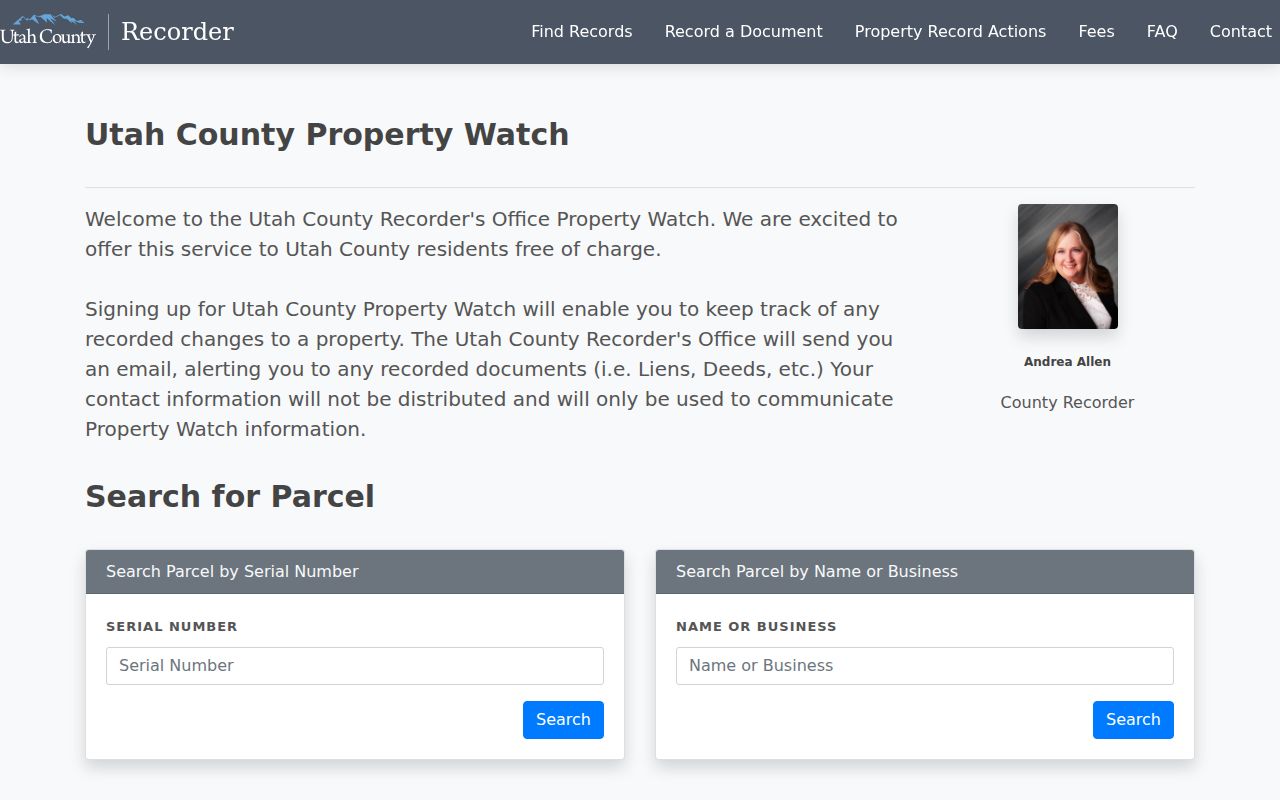
The county service has Serial Number and Name or Business search fields plus a Subscriptions control. It does not guarantee fraud prevention.
Save a Saratoga Springs Neighbors Block View
Measurement and coordinate tools can orient a parcel frontage, road edge, or nearby lot. Deed Points can display scanned or recorded deed-point locations in the current view. Export can create a PDF or other map layout with scale, north arrow, and county logo. These tools preserve geography and research context; they do not prove who occupies a building.
A block view should carry the map date, selected layers, target serial, and any historic date entered. When an address is near a development edge or annexation, add the former municipality and plat. The county GIS contact is listed at 801-851-8626 and utahcnty@utahcounty.gov. Map questions can also use the county’s public webmaster contact.
Saratoga Springs Neighbors and Precincts
Utah County’s interactive election map can show precincts, political boundaries, vote centers, and drop boxes. Saratoga Springs precinct materials label precincts 401 through 426. A precinct tells where an election boundary falls. It does not show every parcel’s voters and does not prove that a person lives at each mapped address.
Utah’s public voter category can include name, physical and mailing address, year of birth, party, and vote history. The county PSR and Has Voted products can include address, city, ZIP, precinct, ballot type, and date voted where lawfully released. Protected and at-risk records are omitted, and no product shows ballot choice. A parcel owner may be unregistered, a voter may rent, and multiple voters may share one parcel.
Saratoga Springs Neighbors in Development Records
Saratoga Springs master-development plans identify Beacon Pointe, Brixton Park or Rushton West, City Center, Cliff Lake, Costco or Market Street, The Crossing, IHC, Lake Mountain Middle School, Legacy Farms, Mt. Saratoga, and Northshore. Search these labels in the Recorder party and KOI forms, city notices, planning documents, and Utah Digital Newspapers. A plan name can identify a block’s development era when a street number is new.
The sampled Lakeside at Saratoga Springs abstract includes HOA, declaration, covenant, bylaw, deed, and release or cross-reference rows. Those records can explain shared governance or subdivision history. They do not provide a current HOA membership roster. The city research found no official umbrella association directory or member list.
Use the approved master-development-plan page for named local plan context.
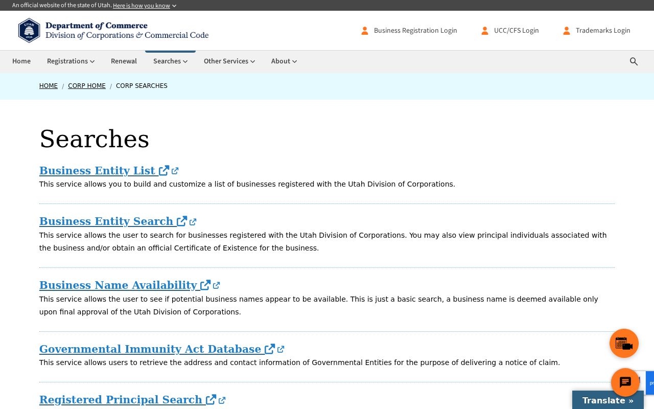
Utah Commerce entity and registered-principal records show organizational relationships, not a block’s household list.
Saratoga Springs Neighbors in City Plans
City public notices identify applicants, parcels, hearings, planners, and annexation questions. Cityworks has been used since January 1, 2024 for permit submittal, resubmittal, payments, and digital plan review. The dynamic interface was not inspected for complete historical search fields or public download controls. A focused GRAMA request can ask for a named plan, permit, notice, or code record if the city maintains it and the record is releasable.
These records help explain how a block formed. They do not establish who belongs to a community. The city library and Utah Digital Newspapers add historical notices and obituaries. Congregation rosters, block-watch lists, private social groups, utility customer names, and private HOA membership records were not located in an official public source.
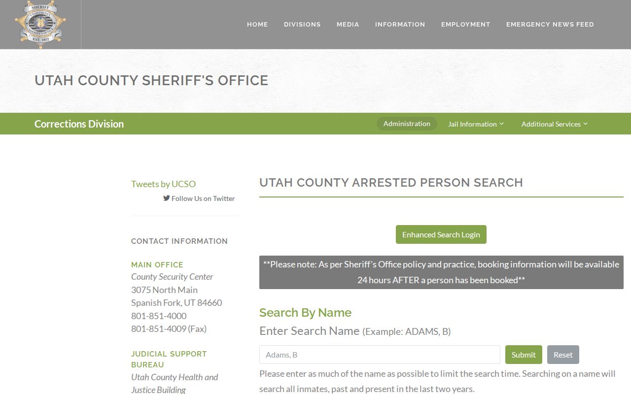
The Utah County Arrested Person Search is a separate official name/date route, not a block directory.
What a Voter File Shows Nearby
When a lawful state or county voter product is available, fields can include voter ID, name, physical or mailing address, city, ZIP, precinct, districts, participation, ballot type, and date. Use those fields to understand civic geography or to compare a known family-history clue. Do not turn an address field into a claim about every person at a parcel.
Utah voter privacy law withholds Social Security numbers, driver or state ID, full date of birth, email, phone, signature, and qualifying at-risk records. Safe at Home participants use a substitute address, while the actual home, city, county, precinct, phone, and unique location details can remain confidential. A blank result can therefore reflect protection or product limits.
Library and Newspaper Neighbors
The Saratoga Springs Library at 319 S Saratoga Road links its catalog, Utah Newspapers, Ask a Librarian, and Utah Online Library. The city’s August 18, 2026 notice describes Utah Digital Newspapers as more than nine million pages from 400 Utah newspapers covering 1850 to 2025. Search development names, “Saratoga Springs,” “Utah County,” “Beck,” hot springs, school, church, annexation, subdivision, civic event, and obituary.
BYU Digital Collections includes the Provo Daily Enquirer from 1889 to 1908 and regional historical images. The Utah Historical Society catalog and Utah State Archives add manuscripts, photos, books, government series, and newspaper routes. These sources can show a past community event or family connection. They do not provide a current neighborhood membership list.
Privacy Limits on Neighbor Lookups
Neighbors can be absent from public property and voter records because they rent, are household members, are not registered, are protected, or are named only in a private file. DMV address information is protected under the federal Driver’s Privacy Protection Act. Utility and delivery customer lists are not public household rolls. A public owner name may point to an entity or mailing address rather than a person at the parcel.
Lawful use. Saratoga Springs block research is for personal, lawful neighborhood curiosity, family history, reconnecting, civic understanding, and safety awareness. Do not use maps or records to stalk, monitor, intimidate, threaten, or harm any person.
Commercial neighbor tools as a category can merge same-name people, infer relationships, expose an owner rather than an occupant, and omit protected records. Official GIS, Assessor, Recorder, and election sources are slower but show a custodian and a correction path. If a result is wrong, keep the parcel, entry, or voter identifier and contact the office that maintains it.